Mapping Services
Our mapping services allow you to get a complete overview of a large area utilizing high definition cameras along with GPS coordinates for accuracy up to 2-3cm. We can produce Orthomosaic maps, Digital Elevation Models (DEM) as well as 3d models for many different uses.

ORTHOMOSAIC
Also know as orthophoto, orthophotograph and orthoimage. These provide a geometrically corrected or orthorectified image where the scale is uniform. Can be used to measure true distances as it has been adjusted for camera tilt, lens distortion and topographic relief.

Digital elevation model (DEM)
A DEM is a 3D computer generated representation of a terrain's surface.
DEM can provide valuable data for a work sites current state and be used for progression tracking.

3D modeling
3D models can be made using advanced photogrammetry methods and special software.
Bring any real world object into an accurate 3D model representation. Even experience the model in virtual reality for an immersive experience.
Volumetric Services
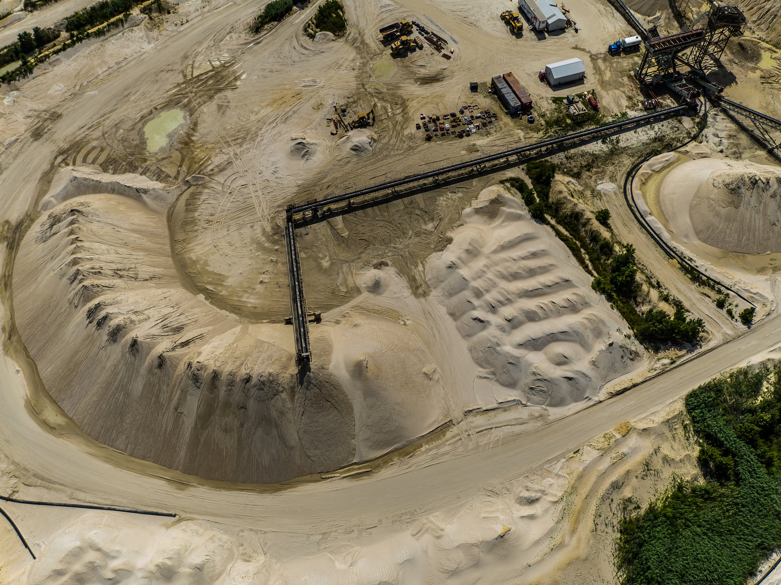
Stockpile Measurements
Capture important volumetric data utilizing aerial data and 3d point cloud technology.
